SatFeature Layer
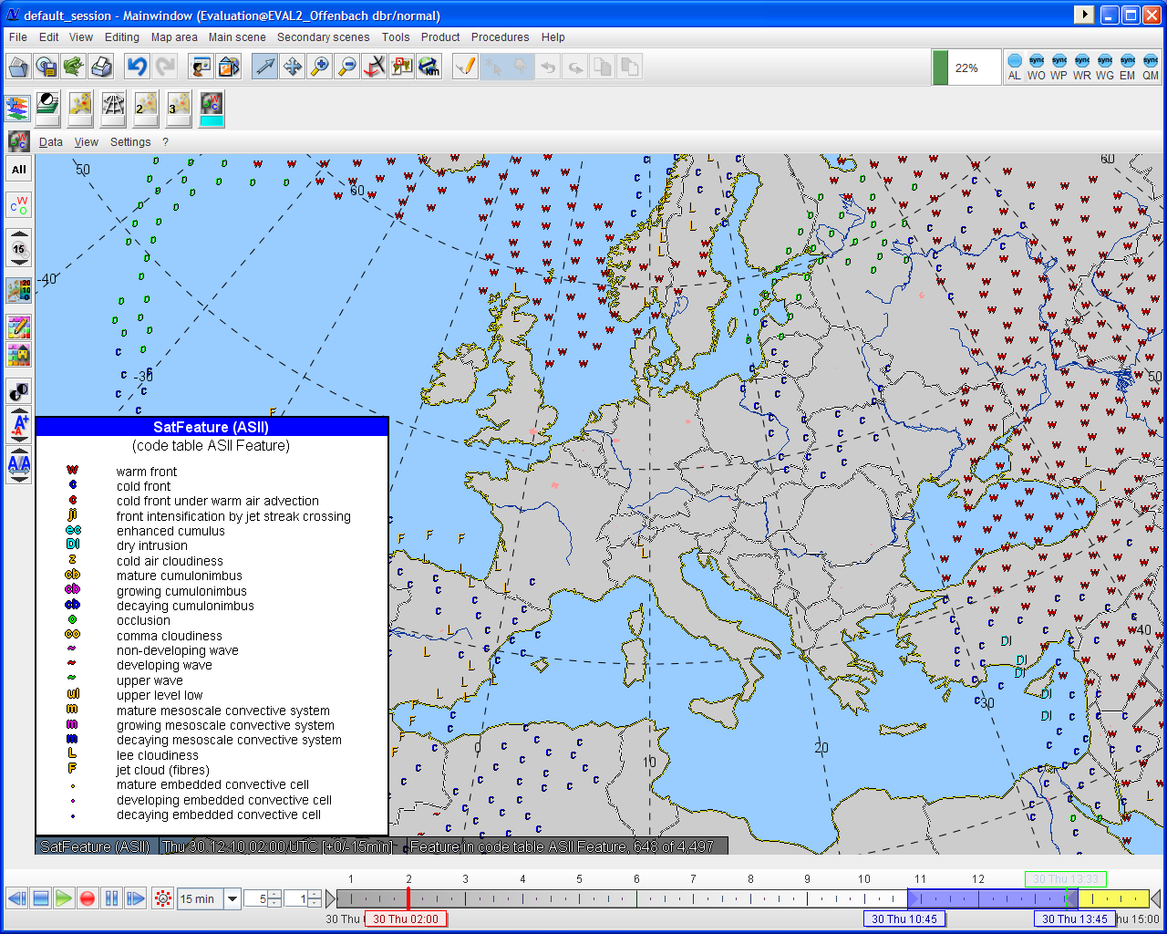
The Network of Satellite Aplication Facilities (NWC SAF) makes a product available, which bears on the automatic interpretation of the satellite image (Automatic Satellite Image Interpretation, ASII). The satellite images are analysed with the aid of conceptual models. They constitute a synthesis of physical processes and the typical outward forms (features) that the processes in satellite images or other synoptic data bring about. The analysed data comes from SERVIRI instruments (Spinning Enhanced Visible and Infrared Imager) on board of the MSG-satellites (Meteosat Second Generation).
The basis of the image interpretation are so-called pattern recognition methods, which are used to investigate the form and position of typical cloud appearances in the satellite image. The following forms of appearance were detected:
- Frontal zones
- S-Shaped lines
- Circular cells
- Narrow cloud bands
- Black stripes in water vapour images
- Spiral-shaped cloud structures